Isaac Sawyer’s First Tract
Isaac Sawyer’s First Tract ca. 1761 would, after the annexation by the Town of Lansingburgh of land south of the Deep Kill from the Town of Schaghticoke, form a large portion of Northern Lansingburgh north of the Patent of Stone Arabia incorporating Thieves Hollow, Rice Mountain, and the Brookins Cemetery. It’s seen below on a map ca. 1761.
Surnames appearing on old maps include:
1854: Brookens, Filkins, Larbee, Mott, Perry, Turner, Wade, Webster, Wool
1861: Filkins, Hemstreet, Munson, Perry, See, Shelder, Taylor, Turner, Van Pelt, Way, Wood, Wool
1870: Barber, Barnes, Carr, Connor, Filkin, Filkins, Freiot, Hemstreet, Huffman, Jones, Perry, See, Taylor, Van Vleck, Way, Whinnery, Wool
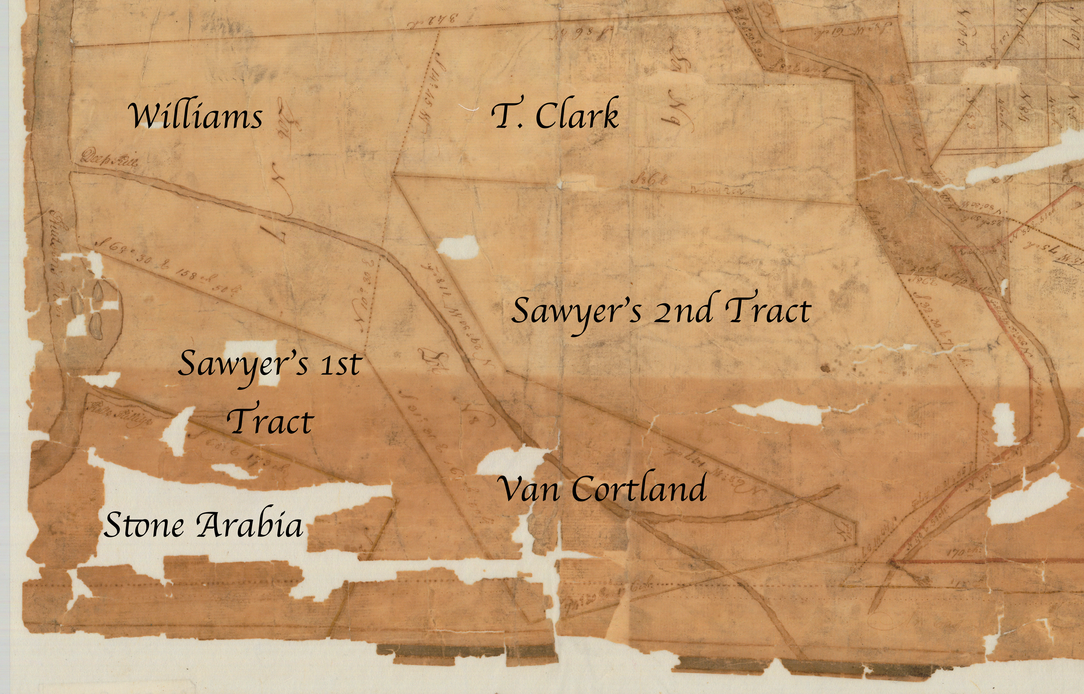
Detail cropped and annotated from “Map of a tract of land, granted to Isaac Sawyer and others called Pitt’s Town.” http://digitalcollections.archives.nysed.gov/index.php/Detail/Object/Show/object_id/36917